For six years, the state of California suffered one of the worst droughts ever recorded. This came to an abrupt halt in the winter of 2016/17, when record rains turned many parts of the state green. But the excess water came as a shock to much of the state’s infrastructure. Severe damage might have taken place, had it not been for a flood bypass a century in the making.
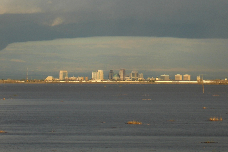
Last year, traffic along the interstate highway 80 were greeted by the sight of a manmade inland sea, courtesy the Yolo bypass. When the Sacramento river swelled, its water spread along the floodplains threatening to submerge neighbouring towns, farmlands and fields – stopped in its tracks by a combination of gravity and clever engineering.
Built in 1907, the bypass incorporates a network of weirs – armoured levees that regulate the river flow – to shift the river’s excess water towards the Sacramento floodplains. The entire Sacramento Valley used to turn into an inland sea until the Sacramento River Flood Control Project restricted its spread. The result is a floodplain, selected to cause the least disturbance to the local population.
Floodplains are like river beds without the river; areas whose soil is alluvial and whose habitat thrive on the frequency of flooding. When the waters recede, the wetland is ripe for the construction of fisheries as well as the habitat of a diverse array of wildlife.
Copyright©Madras Courier, All Rights Reserved. You may share using our article tools. Please don't cut articles from madrascourier.com and redistribute by email, post to the web, mobile phone or social media.Please send in your feed back and comments to [email protected]


