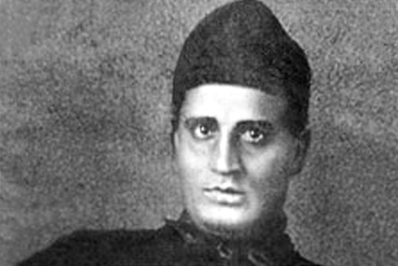
‘Sir, I have discovered the highest mountain in the world!’ These words aren’t quite as famous as Alexander Graham Bell’s oft-misquoted words: ‘Mr. Watson, come here, I want you.’ (Bell said, ‘Mr. Watson, come here, I want to see you.’)
Indeed, the story of Radhanath Sikdar announcing his discovery of the height of a peak, later christened Mount Everest, is probably apocryphal. But, Sikdar’s monumental achievements are undeniable.
The Great Trigonometrical Survey of India
In 1802, William Lambton laid the baseline from St. Thomas Mount, in what is today Chennai, to a hillock near Pallavaram to determine the length of a degree of latitude along a longitude in the middle of the sub-continent. Lambton and his successor, George Everest, spent the next few decades computing across the length of the sub-continent, what came to be called the ‘Great Indian Arc of the Meridian.’ This was the beginning of the Great Trigonometrical Survey of India whose purpose was to do the groundwork for an accurate survey of India.
The purpose of this survey was both scientific as well as pragmatic. In part, it was to determine, by actual measurement, the magnitude and figure of the earth. But equally, it was in the interest of the British to have on hand some large-scale and small scale maps of India to facilitate their exploitation of its resources.
Copyright©Madras Courier, All Rights Reserved. You may share using our article tools. Please don't cut articles from madrascourier.com and redistribute by email, post to the web, mobile phone or social media.Please send in your feed back and comments to [email protected]


