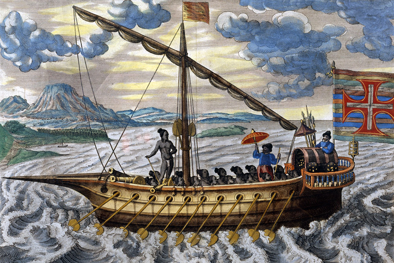
Through the entirety of the 16th century, the Portuguese kept one important and powerful secret from reaching the shores of Europe – the trade route to India. Since time immemorial, India’s wealth was a legend shrouded in geographic uncertainty.
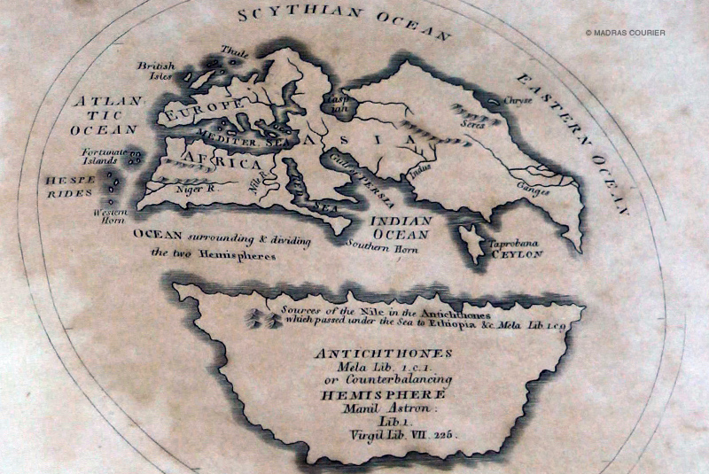
Marco Polo, who ‘discovered’ India for the Portuguese, kept the knowledge of his route to his people. Sailors called them rutters (roteiro in Portuguese), and they contained the nautical routes from Europe. It passed through the Atlantic Ocean and the coast of Africa, sometimes with a pit stop at Brazil, then returning East and turning left at the Cape of Good Hope; hugging the East African coast before charting through the Arabian Sea and arriving at the shores of Cochin or Goa. It was a path-breaking route. For, in 1489, this is what the European world map looked like.
(Image: 7MB) Early maps either underestimated or overestimated the size of Africa- making a oceanic trade route an unpredictable affairThe Carreira Da Índia (career of India) was the premier route to the subcontinent. Thanks to it, the Portuguese enjoyed a monopoly on Indian trade – until a Dutch adventurer and spy took this crucial information for himself and country.
Copyright©Madras Courier, All Rights Reserved. You may share using our article tools. Please don't cut articles from madrascourier.com and redistribute by email, post to the web, mobile phone or social media.Please send in your feed back and comments to [email protected]
