A geolocation enabled selfie from your phone camera, a photographer taking a photo of the hills from a helicopter, a start-up using Google Maps to deliver food or offer taxi services – all of them would need a license, and vetting by a security agency to be legal in India if a draft bill becomes an act.
The Geospatial Information Regulation Bill, 2016 (Draft) could affect every single person or entity who might make or use geospatial data – inside or outside India. And the proposed penalty for noncompliance is between one crore to a hundred crores ($155,000 – $15.5 million).
Its definition of geospatial information is broad.
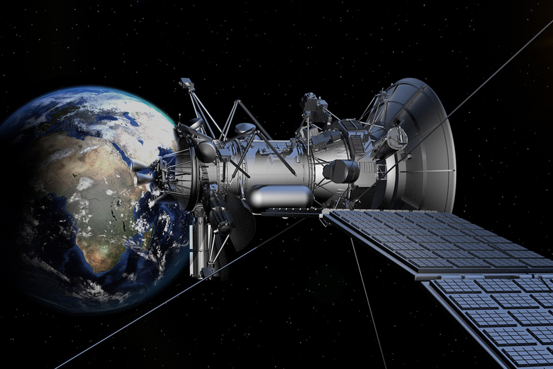
Geospatial imagery or data acquired through space or aerial platforms such as satellite, aircrafts, airships, balloons, unmanned aerial vehicles including value addition; or graphical or digital data depicting natural or manmade physical features, phenomenon or boundaries of the earth or any information related thereto including surveys, charts, maps, terrestrial photos referenced to a coordinate system and having attributes.
It’s a bill that has industry, internet organisations and civil society worried stiff. Many of India’s fastest growing start-ups rely on geospatial information – to deliver food, packages, and other services. Government institutions from the Union Ministry of Water Resources to the Bangalore Police have all used mapping technologies to aid their functioning.
Copyright©Madras Courier, All Rights Reserved. You may share using our article tools. Please don't cut articles from madrascourier.com and redistribute by email, post to the web, mobile phone or social media.Please send in your feed back and comments to [email protected]


